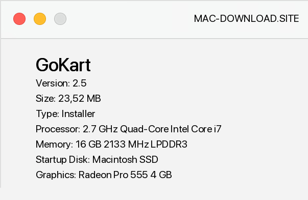
GoKart is a very easy to use tool for surveying in CAD environment (including MicroStation, AutoCAD and IntelliCAD and others). The software is characterized by the ability to create object and vector maps, the option of import/export in GML files, databases BDOT500, GESUT, EGiB, BDSOG, PRPOG, PRG, compliance with the instruction K-1 (1998 or 1995) and D-19 of 2000, as well as the database of map elements definition, which allows you to edit definitions and create your own configurations. In addition, GoKart is equipped with an extensive map frame generator, integrated, interactive content of the 1998 K-1 manual and "BDOT500/GESUT Ordinances", as well as a useful search engine that allows you to easily search for items by their description, code, etc.
The system is also equipped with an integrated, interactive content of the K-1 manual from 1998 and "BDOT500/GESUT Ordinances". The tool enables wholesale map processing, interpolation of contours, import of coordinates with codes, support for external coordinate databases and calculation of coordinates from linear indentation and domains, calculation of parcel areas for the whole map, including reduced areas. The current release of GoKart is compatible with CAD platforms MicroStation (95, SE, v7/J, v8, v8, v8 2004 Edition, XM, v8i, Connect Edition and derivative versions of PowerDraft, PowerMap, GeoOutlook, Redline, Navigator), AutoCAD (2000 to 2015 versions), AutoCAD LT (only with LT Extender or Cadsta Max) and IntelliCAD (from version 6.
Recommended platforms are BricsCAD or ZwCAD+).


Add a comment


